|
| Mt. Hood greets us on the trail |
One of the ongoing gifts of walking the camino is the joy one finds in simply being afoot in nature. Busy lives and bustling communities make modern day life stressful, but fortunately help is often nearby. Most of us can find a bit of solace and quietude in some nearby park or less traveled part of whatever town or city we live in. We who live in the Pacific Northwest are truly blessed to have an abundance of places of great natural beauty, close at hand, where our weary bodies can go to find peace and renewal. Yes, it takes a bit of effort and there is some physical challenge, but the feeling one finds after a day in the mountains is worth every calorie burned to get there.
Yesterday, was a perfect early fall day with clear skies over the Cascade Mountains in western Oregon. A friend of mine emailed me and suggested a trip up to Mt. Hood to hike the
McNeil Point trail. I have never hiked this particular trail and with the weather being so perfect I quickly agreed to join him. We met up, I shifted my gear into Hal's Suburu, and off we went. We chugged along freeways and then secondary roads and then after the little town of Zig Zag (Named after a local river), we turned onto Lolo Pass road and headed off to where we thought we would easily find the trailhead. We ambled along and as luck would have it we drove past our turn off and spent another 40 minutes or so probing the flanks of Mt. Hood looking for our destination. Eventually, we came to our senses when we chatted with two young ladies who were wandering around, as we were, looking for the same trailhead. They mentioned an unmarked road that they had briefly followed before abandoning it because it just didn't seem like it was taking them where there wanted to go. They read off the road number from their GPS and we compared that to our very sparse notes and sure enough that was the road we were looking for. As it turns out it was just before where the Pacific Crest Trail crosses Lolo Pass road. We backtracked together and after a few miles we found ourselves snaking into a parking pass alongside a narrow road filled with many other cars. This had to be the place, and it was. A few minutes later, with backpacks snugged up, off we went into the woods and started climbing. This is what unfolded as we ascended the mountain. Quite a day.
 |
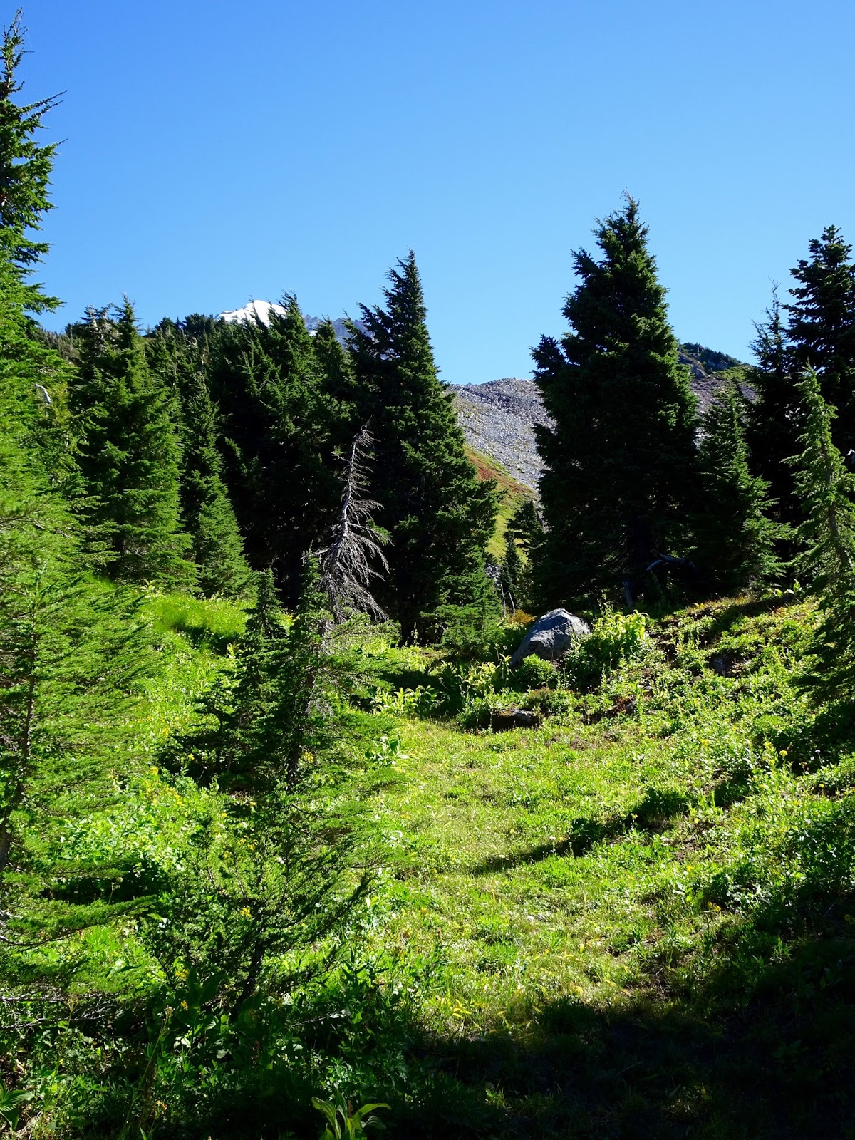
| The trail begins |
 |
| Hal, my hiking partner |
 |
| Mt. Adams to the North |
 |
| Mt. Rainier with lenticular cloud over it |
 |
| Mt. Hood |
 |
| Mt. St. Helens missing its pointed top due to its major eruption in 1980 |
 |
| Lunch break |
 |
| The Sandy River which originates at Mt. Hood |
 |
| Raven looking for lunch as we ate ours |
 |
| Ridges in the distance |
 |
| That's me |
 |
| Hal at our lunch break |
 |
| Mt. Adams again |
 |
| Mt. Hood |
 |
| Where we diverge from the Timberline trail that circles the mountain |
 |
| Last view of Mt. Hood before descending into the forest |